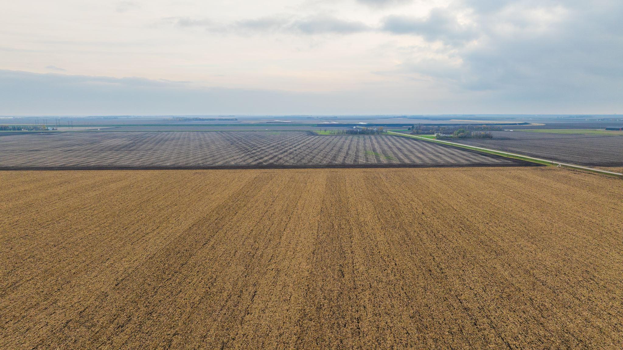
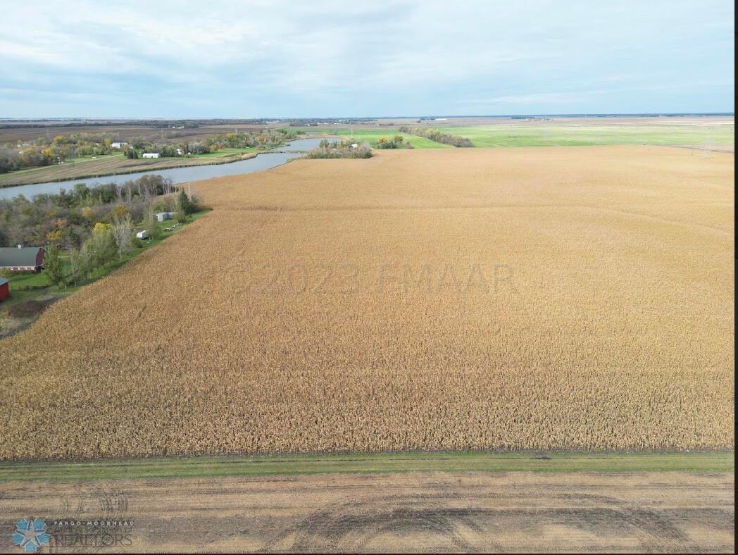
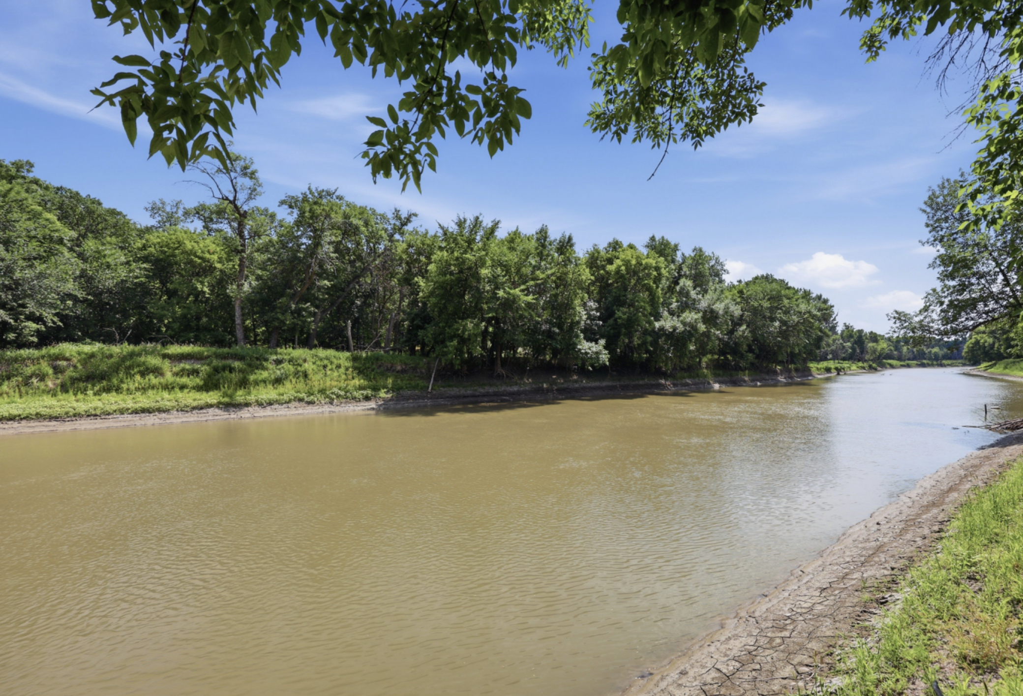
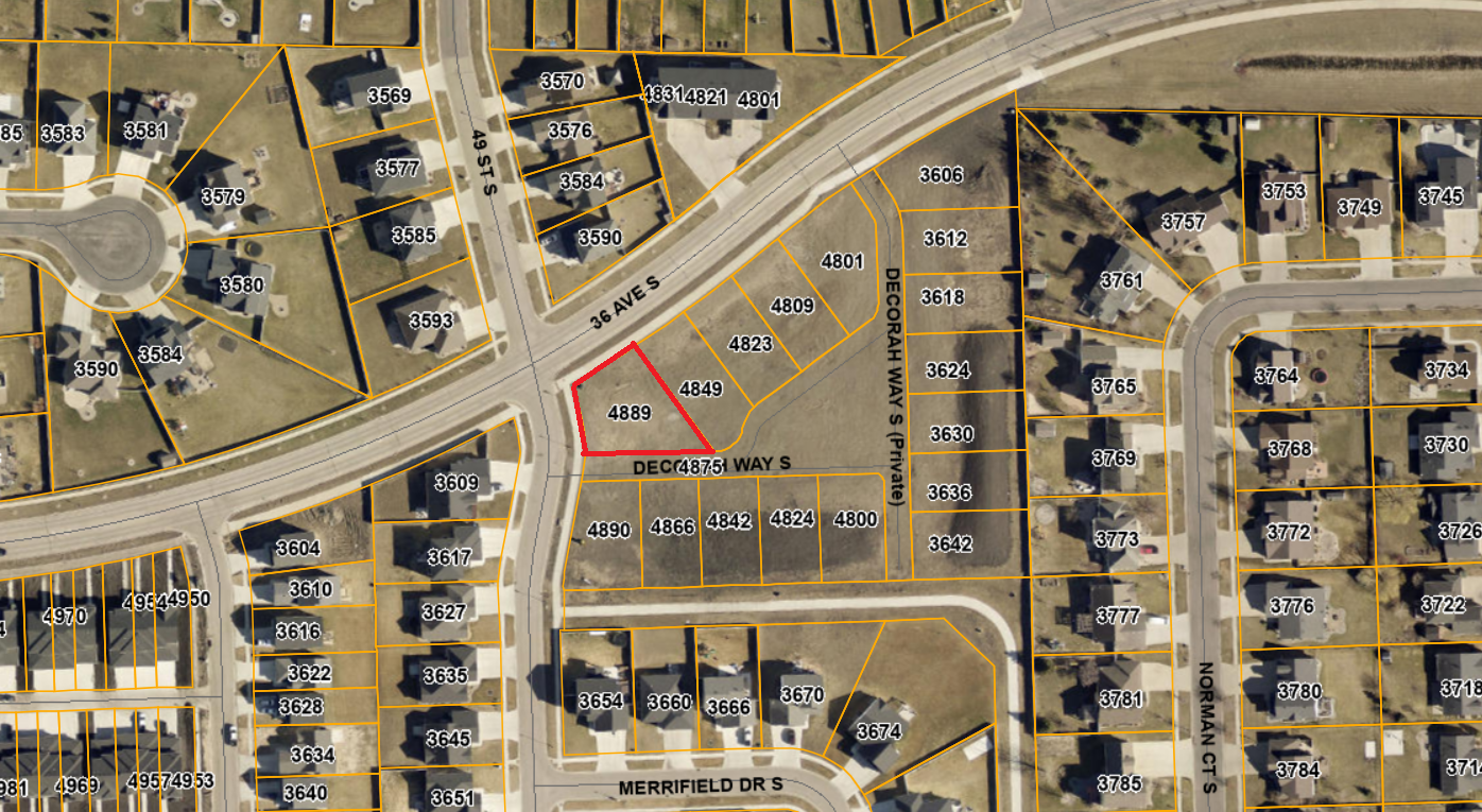
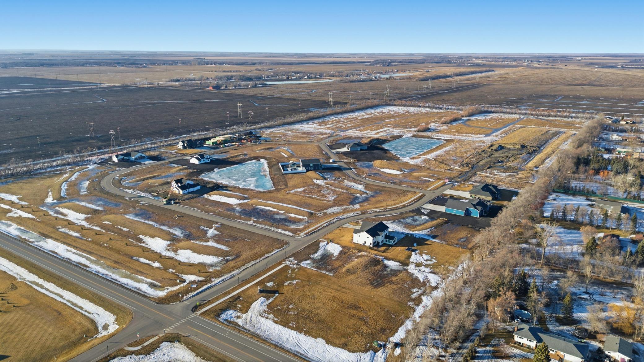
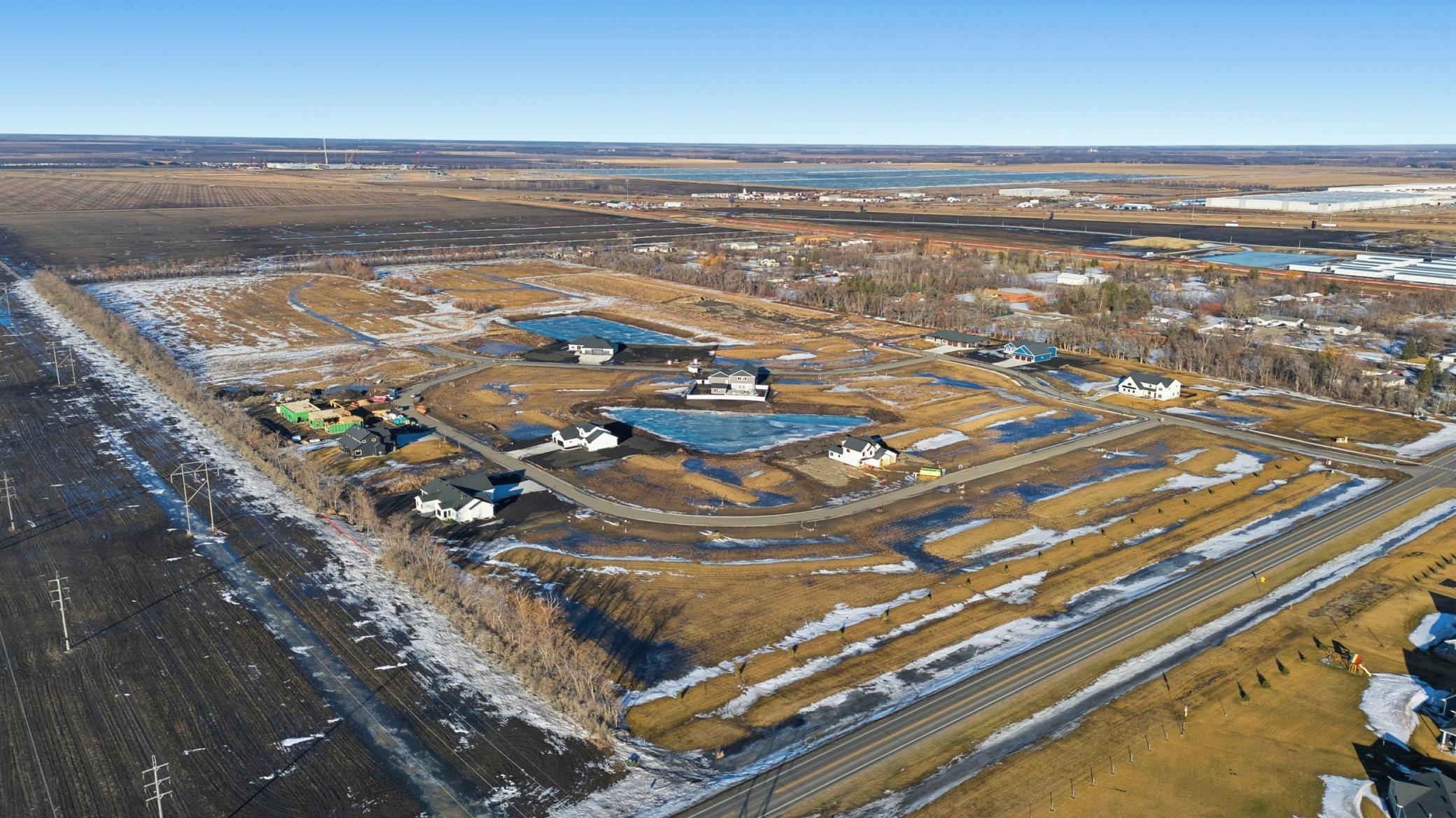
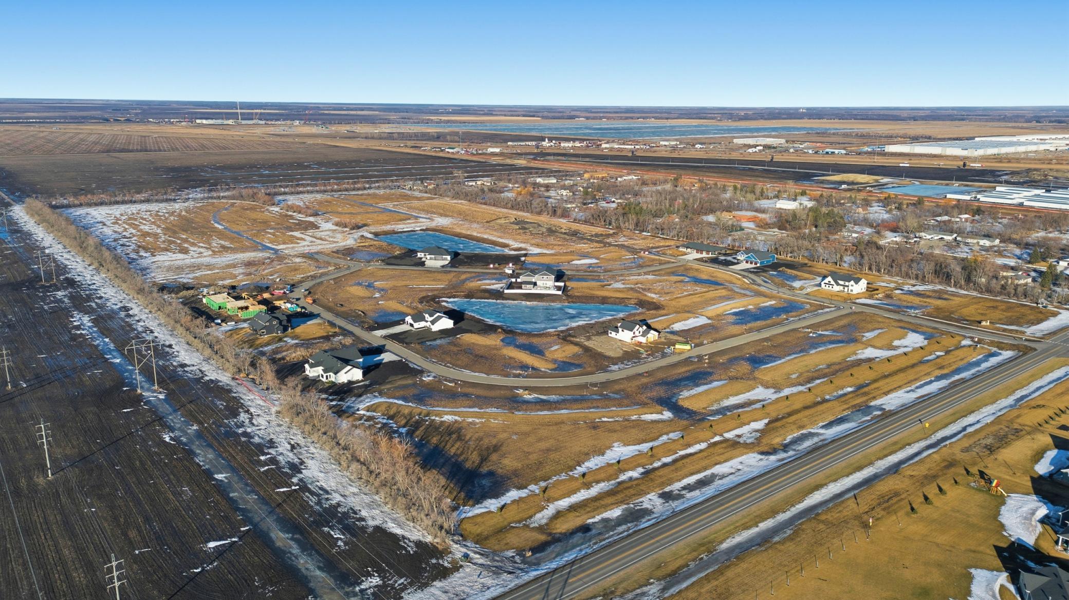
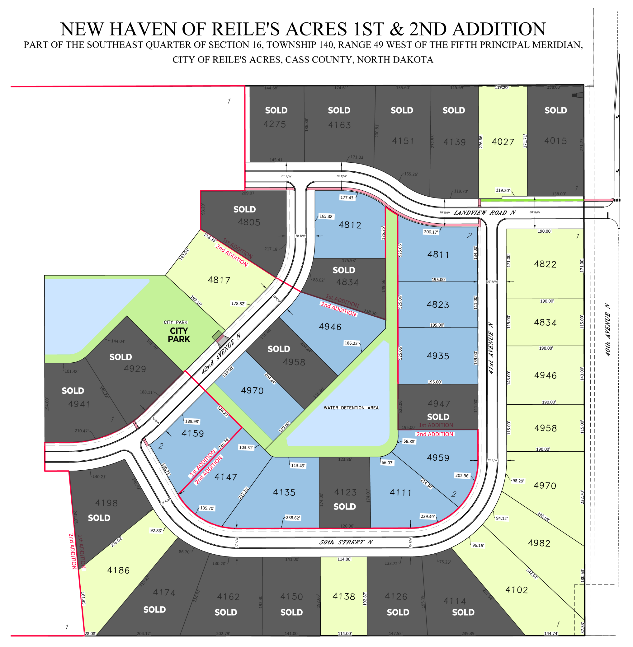
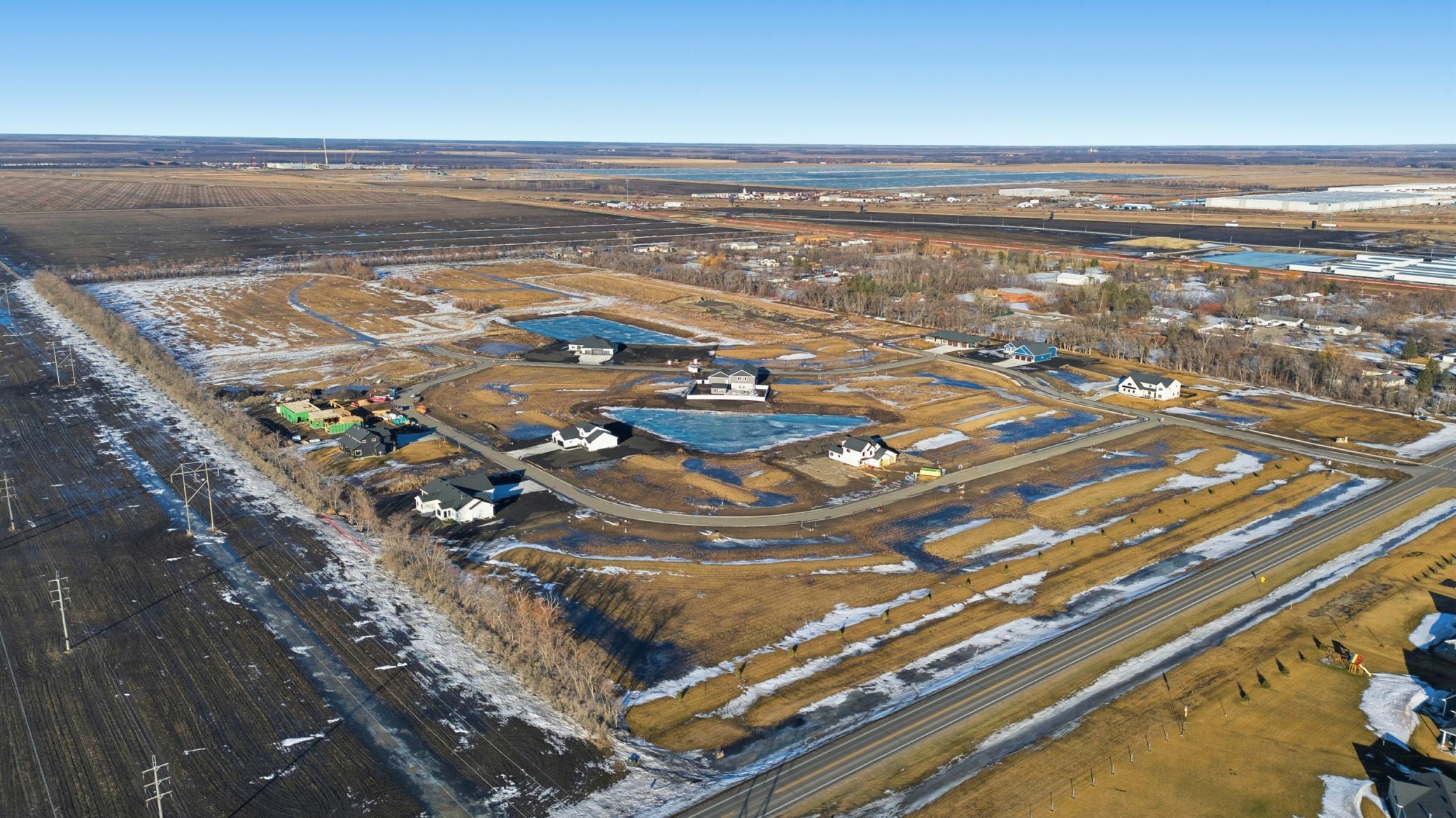
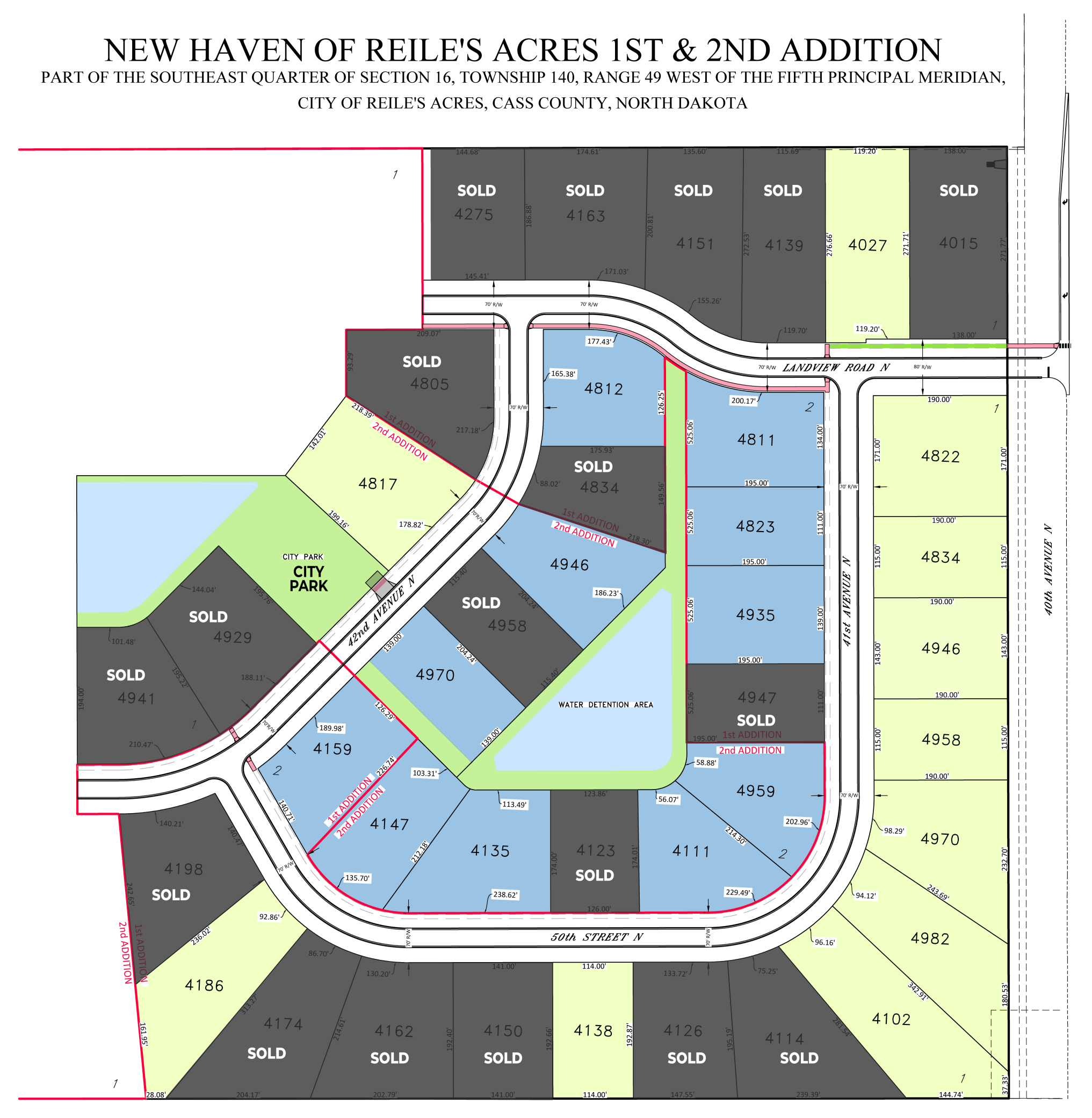
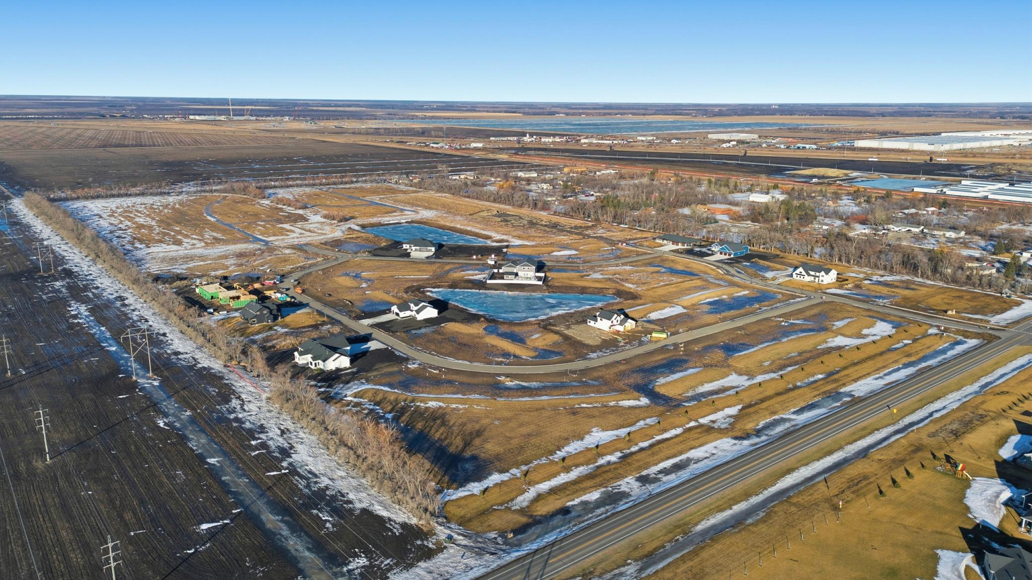
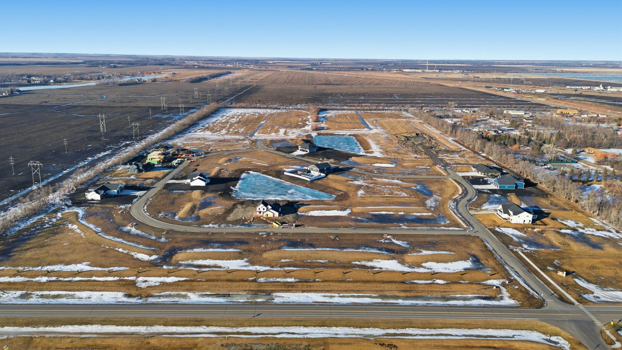
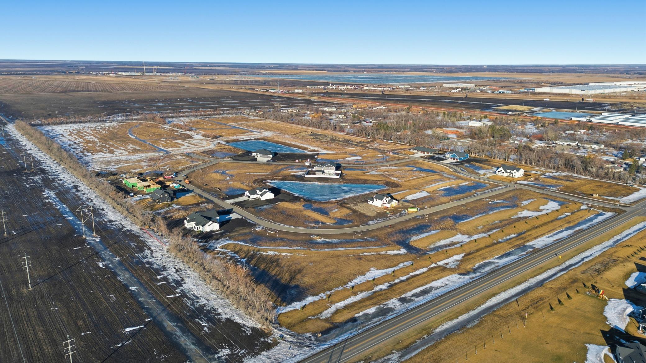
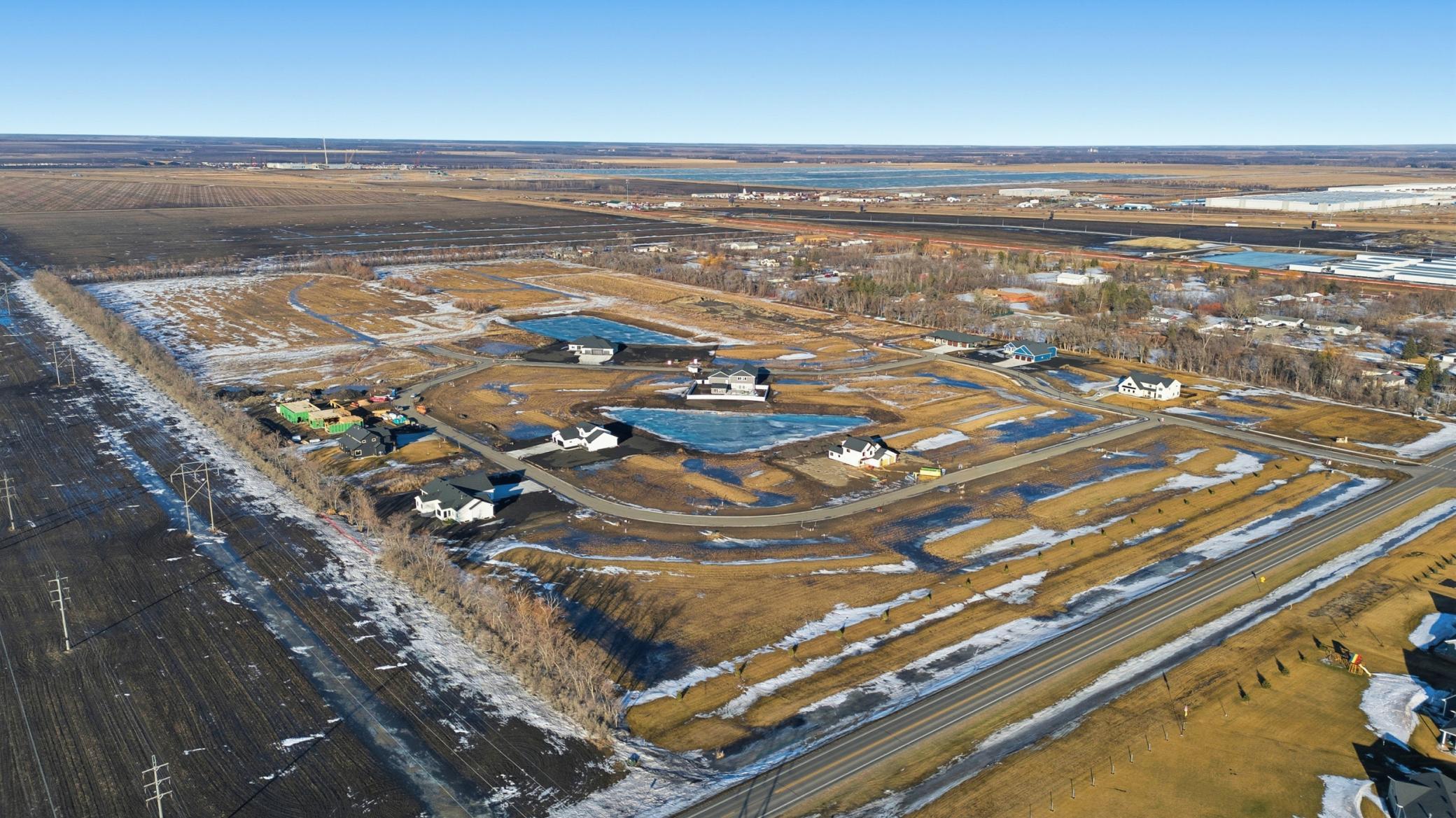
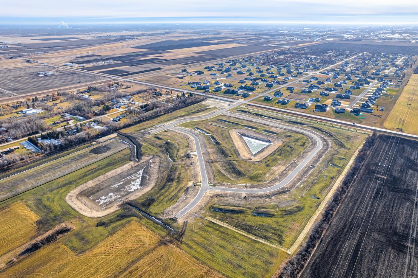
Browse lands for sale in Fargo, ND with Up North Realty Group.
Fargo, ND Housing Market Trends
Unlike rural or energy-dependent regions in Western North Dakota whose real estate markets fluctuate with oil cycles, Fargo boasts the state's most diversified economic base. As a regional hub for healthcare, technology, higher education, and agribusiness, it steadily attracts students, professionals, and families. The Fargo-Moorhead metropolitan area is projected to add tens of thousands of residents over the coming decades, creating sustained underlying demand for both residential and commercial development. Land investors here benefit from stable, long-term appreciation fueled by organic population growth rather than speculative resource booms.
A primary challenge with acquiring raw land in Midwest river valleys is flood risk, which often complicates zoning, building, and insurance. The Fargo-Moorhead Area Diversion project—a massive flood protection initiative—permanently removes thousands of acres of land out of the 100-year floodplain. This critical infrastructure significantly derisks land purchases in key growth corridors (particularly south and southwest of the city), transforming previously constrained agricultural land into prime, buildable real estate that is easier to zone, insure, and develop compared to neighboring flood-prone zones.
Compared to national real estate markets where buildable land commands high price tags and carries complex regulatory hurdles, Fargo offers relatively low acquisition costs per acre combined with business-friendly local governance. The city actively promotes practical, fiscally responsible growth management policies and development incentives. Holding land in Fargo allows buyers to lock in low initial capital requirements while retaining flexible development paths—whether holding for commercial expansion, residential subdivision, or long-term lease holding—delivering a stronger risk-adjusted return on investment than high-barrier metro areas across the country.
Buying land in Fargo, North Dakota, offers distinct strategic advantages compared to other locations across the state or the broader United States.
Special assessments are local taxes levied by the City of Fargo to fund public infrastructure projects directly benefiting specific land parcels, such as paving roads, installing water mains, and building flood protection. Unlike traditional property taxes based on market value, these charges are tied to the cost of local improvements and often attach as long-term liens on the land. Buyers purchasing raw or recently platted land should carefully verify outstanding or pending special assessment balances, as these can add thousands of dollars to future development costs.
Land zoning in Fargo is established by municipal ordinances to regulate permitted uses, structure sizes, and setback requirements across categories like residential, commercial, industrial, and agricultural. The Fargo Planning Commission oversees these designations and enforces specific land-use rules to manage city expansion and prevent incompatible developments. If a buyer intends to use a parcel for a purpose outside its current zoning classification, they must submit a formal rezoning petition or apply for a conditional use permit through public hearings.
Conducting a soil test is essential because the local soil composition—dominated by dense, clay-heavy Red River valley soil—significantly influences drainage, foundation design, and site preparation costs. Engineers analyze soil samples to determine bearing capacity, frost heave potential, and moisture retention, which dictates whether specialized excavation or reinforced foundation work is required. Skipping this environmental and technical due diligence can lead to unexpected construction expenses or long-term structural instability after building begins.
Property taxes for Fargo land are calculated using an assessed "true and full" market value determined annually by the City of Fargo Assessment Department. That assessed value is multiplied by an assessment ratio (50%) and a property-class factor (10% for commercial/agricultural land or 9% for residential land) to determine the parcel's taxable value. Finally, local taxing authorities apply the combined mill levy rate to the taxable value to yield the final annual tax bill.
A professional land survey maps out a parcel's exact legal boundaries, total acreage, right-of-way access, and any existing utility or municipal easements. Securing a boundary and topographic survey before closing prevents future boundary disputes with neighboring lot owners and ensures the land can accommodate planned structures. Lenders and title companies in North Dakota also typically require a recent survey to issue clear title insurance and confirm the lot lacks unknown encroachments.
Before starting construction on vacant land, developers must secure multiple municipal approvals, beginning with building and site plan permits from the Fargo Inspections Department. Additional permits are required for grading, stormwater management, and connecting utilities to public water and sewer lines. If the property sits near designated flood zones or diversion corridors, specialized floodplain development permits may also be required to comply with local engineering standards.
Whether you're ready to build your dream home, plan a future investment, or just exploring your options, we're here to help. Our team can answer your questions about available lots and acreage in Fargo, ND, from zoning and utilities to pricing and neighborhood details. Contact us today to get started and find the right parcel for your plans.
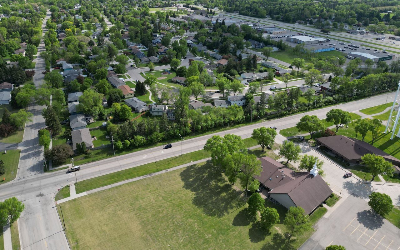
Exploring Fargo, ND starts with finding the right neighborhood. Our Fargo neighborhood guide walks you through the character, amenities, and lifestyle of each area, from established tree-lined streets to newer developments, so you can see what daily life looks like before you make a move. Browse the guide to compare neighborhoods and find the one that fits your needs.