Wondering how floodplains actually affect home values in Grand Forks and what that means for your next move? You’re not alone. Between maps, insurance, levees, and lender rules, it can feel complex. This guide breaks it down so you can price, shop, and negotiate with confidence. Let’s dive in.
Grand Forks floodplain basics
What changed after 1997
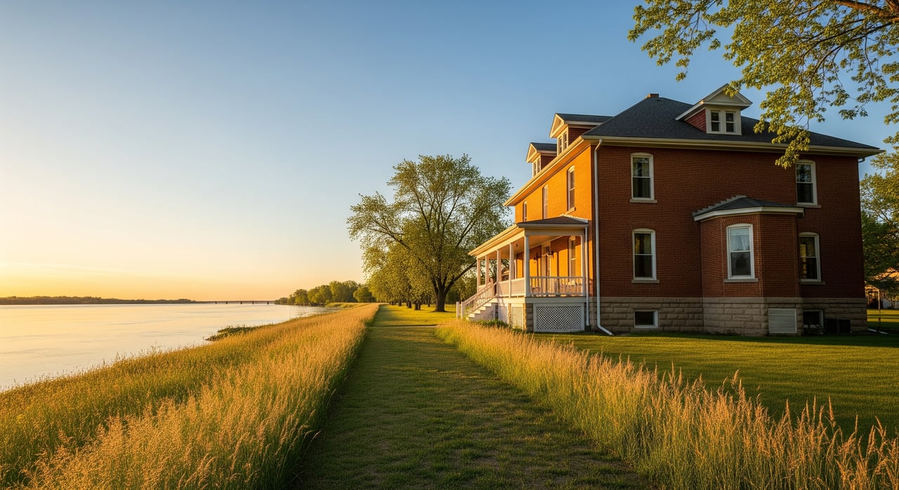
Grand Forks lived through a historic Red River flood in 1997, when the river crested at about 54.35 feet and damaged or destroyed thousands of homes. You can see the scale of the event in FEMA’s summary of the 1997 flood. In the years that followed, the city bought out hundreds of flood‑prone structures and reshaped riverfront land use into today’s Greenway.
Today’s flood protection system
Grand Forks built a multi‑layer Flood Protection Project that includes levees, floodwalls, pumping stations, closure structures, and the English Coulee diversion. The city reports a total project cost of about 409 million dollars and details the system’s features on its Flood Protection Facts page. This infrastructure reduces risk for many neighborhoods and influences how certain areas are mapped and insured.
Ongoing inspections and repairs
Protection systems need maintenance. The U.S. Army Corps of Engineers performs inspections and repair work after high‑water events, which helps sustain levee certification and reliability. You can track recent activity through the St. Paul District’s Grand Forks emergency levee project page.
How flood zones impact buying and selling
Check the maps first
Start with FEMA’s Flood Map Service Center to see the official Flood Insurance Rate Maps for a specific address. The portal shows effective maps, Letters of Map Change, and more. Search by address at the FEMA Flood Map Service Center, then confirm details with local officials.
For local help, the city’s Building Safety Department keeps flood map information, explains elevation certificates, and offers on‑site evaluations. Review the city’s guidance at Grand Forks Building Safety: Flood‑plain Hazard Information. If you’re in the county, contact Grand Forks County Planning & Zoning for permitting and map questions.
Permits, elevation certificates, and accuracy
If a property sits in a Special Flood Hazard Area, the city or county will require a floodplain development permit for certain projects. Elevation certificates help rate flood insurance accurately and can support a Letter of Map Amendment if a structure is above Base Flood Elevation. Ask the seller for any existing elevation certificates and permits, and verify them with local administrators.
Insurance and lending
Lenders typically require flood insurance if a structure is in a Special Flood Hazard Area, commonly labeled Zones A, AE, or VE on FEMA maps. Some lenders may still require coverage outside SFHAs, so confirm with your loan officer and keep documentation if maps change. Grand Forks participates in FEMA’s Community Rating System, and local reporting has noted a Class 5 standing in the past, which corresponds to a 25 percent NFIP premium credit for eligible city policyholders. Learn more about local premium savings in the Grand Forks Herald’s reporting on CRS discounts and the FEMA CRS overview.
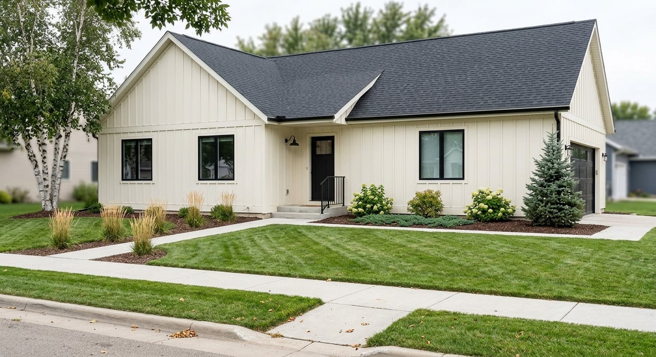
Do floodplains affect home values?
What the data shows
Research points to consistent, but variable, price effects. A national study estimated that homes in regulatory floodplains are collectively overvalued by about 44 billion dollars, roughly 11,500 dollars per home on average, because markets do not fully price flood risk. When properties are newly mapped into a floodplain, the immediate price penalty is about 2 percent on average. See the national study summary from the University of North Carolina’s Carolina Population Center: PNAS 2021 flood risk and housing values.
Local takeaways for Grand Forks
Grand Forks’ investments in levees, pumping, and buyouts can reduce insurance costs and may moderate price discounts compared with unprotected areas. Still, residual risk exists from riverine, overland, or drainage flooding, and buyers do react to clear risk information. The best move is transparency: confirm the map status, gather elevation and mitigation records, and price accordingly using recent, like‑for‑like sales.
Action plans for buyers and sellers
If you’re buying
- Check the FEMA map and any Letters of Map Change, then verify with the city or county floodplain administrator.
- Ask for the elevation certificate and prior permits. These documents affect insurance quotes and long‑term costs.
- Get early insurance quotes and confirm lender requirements, even if the map shows a lower‑risk zone.
- Ask about levee protection, past flood history, and any mitigation investments, then weigh residual risk in your offer.
If you’re selling
- Gather elevation certificates, permits, and proof of mitigation such as flood vents or floodproofing. These can improve buyer confidence and insurance ratings.
- Be clear about the property’s regulatory zone and any CRS premium savings for city policyholders.
- If maps changed or you believe the structure sits above Base Flood Elevation, consider a Letter of Map Amendment or, for broader changes, a Letter of Map Revision. Start with FEMA’s guidance on flood maps, LOMAs, and LOMRs and coordinate with local officials.
- Price with transparency. Highlight mitigation, documentation, and neighborhood protection features without promising zero risk.
Ready to talk strategy for a specific address in Grand Forks or the surrounding area? Reach out to Brett Dalzell for a clear plan that combines local knowledge, data‑backed pricing, and a smooth process from consultation to close.
FAQs
In Grand Forks, how do I confirm if a home is in a Special Flood Hazard Area?
- Search the address in FEMA’s Flood Map Service Center, then verify with the city’s Building Safety Department or the county’s Planning & Zoning office.
What does the Grand Forks levee system mean for my insurance needs?
- Levees reduce risk and can affect map designations, but they do not eliminate risk, so lenders or your own risk tolerance may still lead to carrying flood insurance.
Does Grand Forks’ Community Rating System status lower my flood premium?
- CRS participation can reduce NFIP premiums for eligible city policyholders, with the discount tied to the city’s current CRS class.
How do Letters of Map Amendment or Revision help property owners?
- A LOMA can remove a structure from the mapped floodplain if elevation proves it is above Base Flood Elevation, while a LOMR reflects larger map changes supported by engineering data.
Do floodplain homes always sell for less in Grand Forks?
- Not always, and effects vary. Studies show average discounts, but local mitigation, clear documentation, and buyer awareness can influence pricing and days on market.